At HUVR, we know that understanding the physical location of your industrial assets, equipment, and inspection data is crucial for efficient operations. Our mapping features are designed to provide clear, actionable geographical insights, directly integrating with your existing workflows.
Visualize Your Operations
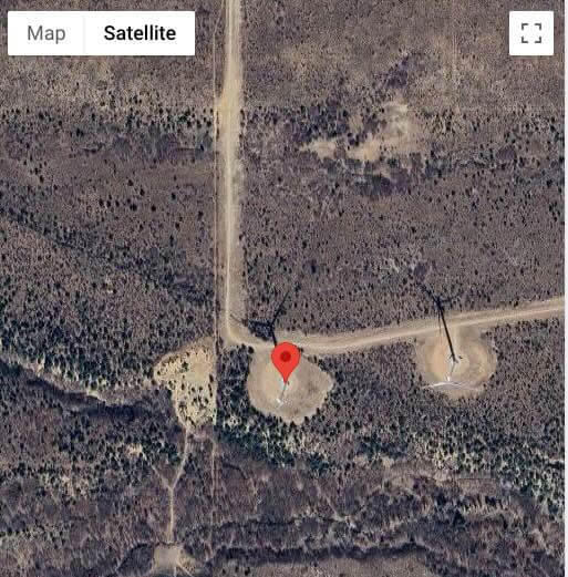
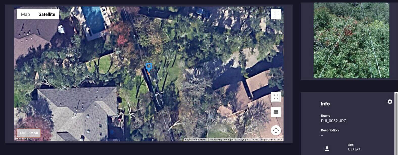
Our platform provides a foundational map view that displays the precise locations of your assets, individual pieces of equipment, and associated media. This intuitive visual representation helps you quickly grasp the spatial relationships across your infrastructure.
Location-Based Data Access
Harnessing the power of geographical data, our API allows you to pull relevant information based on specific geo bounding boxes. This means you can retrieve data for a defined area, streamlining your data access and analysis to focus on what matters most for a particular region.
HUVR also automatically extracts GPS data from EXIF and other meta data formats on image and video.
Precise Asset Tagging
Every asset in your HUVR system has a stored geographical point (geo_point). This fundamental capability ensures that all your data is precisely linked to its physical location, providing a robust foundation for location-aware insights.
Automated Data Routing by Location
Streamline your data flow with automated data-routing based on location. This feature helps ensure that the right data is directed to the right teams or systems, improving efficiency and reducing manual handling.
Mobile Proximity for Field Work
For teams in the field, our mobile application enhances data collection accuracy. By displaying the distance from your current location to the asset you’re inspecting, our mobile mapping helps ensure you are collecting data for the correct work order, minimizing errors and improving data integrity.
By integrating geographical intelligence into every aspect of your inspection process, HUVR helps you gain a clearer picture of your operations, improve data accuracy, and optimize your workflows.